There are lots of Lighthouses along Pen Bay, here is a map to help clarify what your are looking at.


A little history about Pumpkin Island Light, now in private hands.
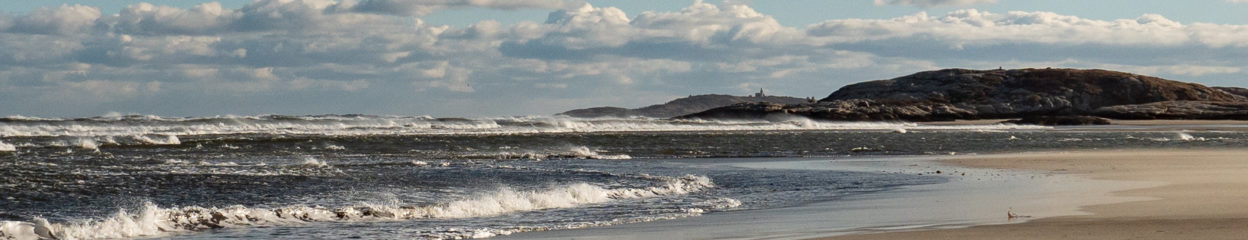
As one Lighthouse keeper said, there is a mess of islands [around Pumpkin Island /Ed]. Yes there are! Here’s a view from Pumpkin Island South to the mouth of Penobscot Bay and the Gulf of Maine.

As we head further South over Penobscot Bay, we encounter Eagle Island.

Eagle Island Lighthouse, another one of Maine’s early lighthouses.

Eagle Island Lighthouse 
Eagle Island Lighthouse
Now onto the North Haven and Vinalhaven region.


A little history about the Goose Rocks Light.


Browns Head Light
Browns Head Lighthouse defines the west channel entrance to Fox Island Thoroughfare. Much more history about this family friendly lighthouse.


Heron Neck Lighthouse was once the home of Nemo the fog-bark. For more information and history about the Heron Neck Light, click.
The next lighthouse is a small one facing the Gulf of Maine and North Atlantic Ocean. At one time, it did have fulltime lighthouse keepers. Their logs pretty much agreed, it was a miserable place to be stationed.


Saddleback Ledge Light
More information about the Saddleback Ledge Light.
Moving back towards the larger islands, we come upon Isle of Haut. While still remote, conditions here were much better than those on Saddleback Ledge.


Isle of Haut Lighthouse
This lighthouse was built in the last century, rather than the 19th century. Click for more information about the Isle of Haut Light. Also here is a link to the on going restoration project plus additional history.
Heading North towards Stonington, the Deer Island Thorofare Light can be found on Mark Island. This light guides boats into the Thorofare’s western inlet.


Deer Island Thorofare Light
While this area saw lots of shipping from granite quarry minds in the 19th Century, most of the vessels today are engage in fishing (lobstering) and recreation. Click the link for more details about the Deer Island Thorofare Light.